
Beyond GPS: How Elsight's New Positioning Tech Could Transform Drone Navigation
By RobotWorld·10/13/2026
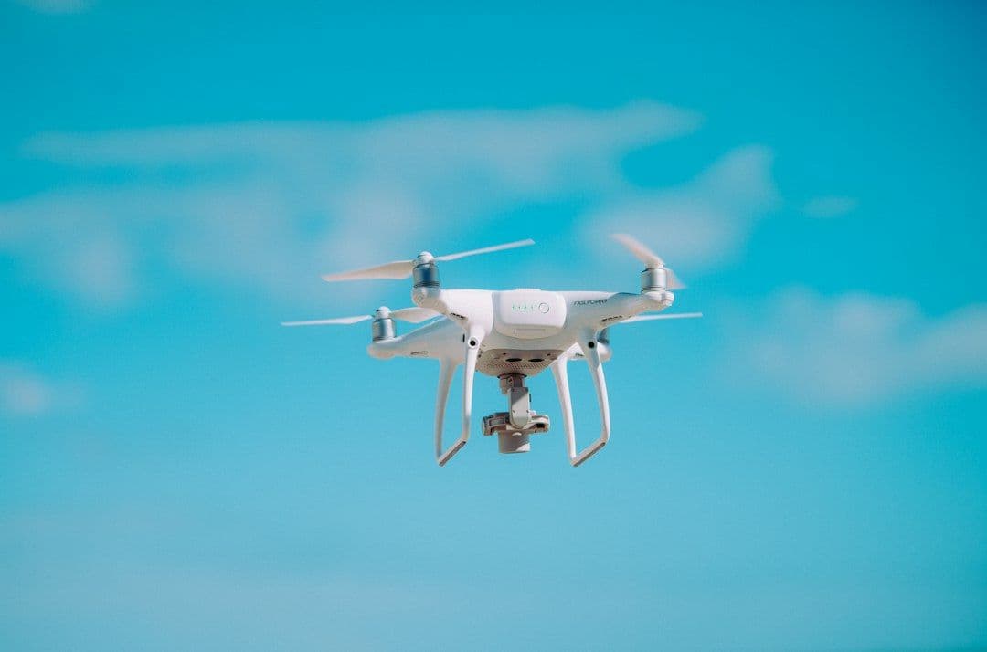
Pick up almost any commercial drone today and GPS is simply assumed — an invisible foundation that tells the aircraft where it is, holds it in a hover, and guides it along an autonomous route. That reliability has made GPS feel almost magical. But the underlying technology has a fundamental vulnerability: the radio signals that satellites broadcast are extraordinarily faint by the time they reach Earth's surface, making them surprisingly easy to disrupt.
The Problem with Relying on Satellite Signals Alone
There are two main ways GPS can fail a drone in the field. Jamming floods a receiver with radio noise powerful enough to drown out the legitimate satellite signal — the drone loses its fix and may drift, return home, or simply land. Spoofing is subtler and more dangerous: a transmitter on the ground broadcasts convincing fake GPS coordinates, causing the drone's receiver to confidently report the wrong position. From the aircraft's perspective, everything appears normal, yet it's flying somewhere it shouldn't be.
For recreational flying, these threats are mostly theoretical. But as drones move into critical commercial roles — delivering parcels, inspecting infrastructure, monitoring crops, mapping disaster zones — the consequences of a spoofed or jammed signal become genuinely serious. An agricultural drone confused about its location might over-spray a crop or miss a field entirely. An inspection drone following a power corridor could drift into an obstacle. A delivery drone might deposit a package blocks from its intended address.
What Elsight Is Building
Israeli connectivity specialist Elsight has developed a positioning technology designed to give uncrewed systems — both aerial drones and ground vehicles — a reliable sense of location that doesn't depend solely on GPS. While the company has not disclosed every technical detail, the approach is aimed at maintaining accurate positioning even when satellite signals are degraded, blocked, or actively spoofed.
This kind of GPS-independent or GPS-augmented positioning typically draws on a combination of techniques. Inertial navigation systems (INS) use accelerometers and gyroscopes to track movement from a known starting point. Visual odometry and LiDAR-based localization compare sensor data against maps or environmental features in real time. Cellular network positioning, ultra-wideband (UWB) beacons, and radio triangulation can all contribute additional reference points. The real engineering challenge isn't using any one of these methods — it's fusing them intelligently so that the system remains accurate and confident even as individual data sources degrade or disappear.
Elsight's background is in connectivity solutions for uncrewed systems, which puts the company in a natural position to tackle this problem. Reliable communication links and reliable positioning are two sides of the same coin for autonomous operations: a drone that can't communicate and can't locate itself is effectively lost.
Why This Matters for Commercial Drone Operations
The timing of this development aligns with a broader industry push toward Beyond Visual Line of Sight (BVLOS) operations — flights where the drone is out of the pilot's direct sight, often covering long distances autonomously. Regulators worldwide are beginning to open corridors and frameworks for BVLOS, but robust, verifiable positioning is one of the foundational requirements. A system that can demonstrate reliable location awareness even under adverse signal conditions is far more credible to certifying authorities than one that simply trusts GPS.
Enterprise drones are already equipped with hardware that could benefit from better positioning fusion. The Autel EVO Max 4T, for example, carries a four-sensor payload including a laser rangefinder alongside thermal and zoom cameras — exactly the kind of sensor-rich platform that benefits from precise, resilient positioning during inspection and mapping missions. Similarly, the DJI Mavic 3 Enterprise supports an optional RTK (Real-Time Kinematic) module that improves GPS accuracy significantly, but RTK itself still depends on satellite signals and ground-reference stations; complementary technologies like Elsight's could add another layer of resilience.
Agricultural platforms like the DJI Agras T50, which flies autonomous spraying missions across large fields, are particularly exposed to positioning errors — a drift of even a few meters can mean missed rows or product waste. Robust fallback positioning would make these operations more consistent and auditable.
The Bigger Picture: Resilient Autonomy
What Elsight's effort represents is part of a wider industry reckoning with the limits of GPS dependency. The drone sector built enormous capability on the assumption that satellite positioning would always be available — and that assumption is increasingly being stress-tested in real-world commercial environments, where radio-frequency interference, urban signal reflections (multipath errors), and natural obstructions all degrade performance.
The solution isn't to abandon GPS — it remains the most practical, cost-effective, and globally consistent positioning reference available. The solution is to treat GPS as one input among many, with onboard intelligence capable of weighting, cross-checking, and substituting data sources in real time. That's the direction the industry is heading, and technologies like Elsight's are part of the infrastructure that will get it there.
For operators planning commercial drone deployments — whether in logistics, agriculture, infrastructure inspection, or emergency response — the question of positioning resilience is worth asking of every platform and every service provider. As BVLOS operations scale, the drones that earn regulatory and customer trust will be those that can prove they know where they are, no matter what the radio environment looks like.
Interested in enterprise drones built for demanding real-world environments? Explore our range of professional platforms, or contact us to discuss which solution fits your operation.
References
This article was drafted with AI assistance and reviewed before publishing.
Related reading
- DronesEnd of an Era: The DJI Phantom 4 Pro V2.0 Is Being Retired — and What It Means for Aerial Photography
- DronesHow Faster FAA Airspace Clearance Is Changing the Way Emergency Drones Get Deployed
- DronesDJI Mini 5 Pro Fly More Combo: What the Sub-$1,000 Deal Actually Gets You
- DronesBeam Global's $24 Million ScoutDI Acquisition: What It Means for the Industrial Drone Industry