
Dronetag and Airwise Unite to Bring Remote ID Intelligence Into One Airspace Platform
By RobotWorld·9/3/2026
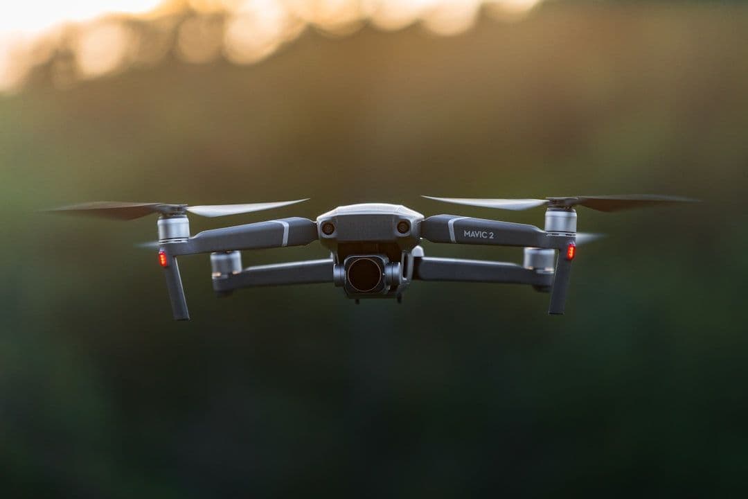
Commercial drone operations have never been more sophisticated — or more regulated. As operators push further into complex environments, the challenge isn't just flying; it's knowing exactly what's happening in the airspace around you, in real time, and staying compliant while doing it. A new partnership between Dronetag and Airwise Solutions is designed to tackle that exact problem by weaving Remote ID intelligence directly into a unified operational awareness platform.
What Is Remote ID, and Why Does It Matter?
Remote ID is the aviation world's answer to a fundamental question: who is flying what, and where? Much like a digital license plate for drones, Remote ID broadcasts identifying information — drone location, altitude, speed, and operator position — that can be received by other airspace users, regulators, and ground observers.
In many regions, Remote ID compliance is now mandatory for commercial operators. But raw compliance is only the beginning. The real value of Remote ID data lies in what you can do with it: building situational awareness, detecting conflicts before they happen, and creating a shared operational picture across multiple stakeholders in the same airspace.
That's where Dronetag comes in. The company has established itself as a hardware and software provider focused on Remote ID solutions, offering devices that broadcast and receive Remote ID signals. Their technology turns regulatory compliance into actionable intelligence.
Enter Airwise: The Airspace Aggregation Layer
Airwise Solutions approaches the problem from a different angle. Their platform is built around aggregating critical airspace data — weather, NOTAMs (Notice to Air Missions), controlled airspace boundaries, and other real-time factors that operators need to factor into their mission planning and execution.
For operators already using Airwise, the platform functions as a command center for situational awareness. But until now, one layer was missing: a live view of other drone traffic in the vicinity, enriched by Remote ID signals.
What the Partnership Delivers
By integrating Dronetag's Remote ID capabilities into the Airwise platform, the two companies are closing that gap. Operators will be able to see Remote ID broadcasts from nearby drones alongside all the other airspace intelligence Airwise already provides — weather corridors, restricted zones, and traffic advisories — in a single, consolidated interface.
This matters enormously for professional operators running complex missions. Consider a utilities inspector using a drone to survey power lines near an urban corridor, or an agricultural operator managing multiple drone assets across a large farm. In both cases, knowing whether another drone is operating in the same airspace segment — and being able to act on that information before a conflict arises — is a genuine safety and efficiency benefit, not just a regulatory checkbox.
The integration also supports the broader industry shift toward UTM (Unmanned Traffic Management) ecosystems. Rather than individual operators relying on fragmented tools, UTM envisions a connected network where drones, platforms, and regulators share data seamlessly. Partnerships like this one represent real, concrete steps in that direction.
The Bigger Picture: Convergence in Drone Operations Software
This collaboration reflects a wider trend: the consolidation of drone operations tooling. Early in the commercial drone era, operators juggled separate apps for flight planning, weather checks, airspace authorization, and compliance logging. The industry is now moving toward integrated platforms that handle all of these functions — and increasingly, Remote ID data — in one place.
For enterprise operators, this convergence reduces cognitive load, speeds up pre-flight planning, and creates a more defensible compliance record. For regulators and airspace managers, it means greater transparency and the groundwork for more automated, scalable oversight of drone traffic.
What It Means for Your Fleet
If your operation involves enterprise drones — whether you're running inspection workflows, surveying terrain, or managing precision agriculture missions — the ability to see your airspace comprehensively is becoming a competitive and regulatory necessity.
Platforms that combine Remote ID awareness with flight intelligence tools will increasingly define the standard for professional operations. Tools like the DJI Mavic 3 Enterprise, with its precision positioning and professional mapping capabilities, or the Autel EVO Max 4T, built for demanding inspection environments, are the kinds of assets that benefit most from this level of airspace intelligence layered around them. Knowing what else is in the sky while your enterprise drone is at work isn't a luxury — it's responsible airspace citizenship.
Looking Ahead
The Dronetag–Airwise partnership is an early but meaningful signal of where commercial drone operations are heading: toward fuller integration of compliance, safety, and operational intelligence into platforms that work together rather than in silos. As Remote ID regulations mature and UTM frameworks take hold globally, operators who invest in connected, intelligent platforms now will be better positioned to scale their operations with confidence.
Whether you're managing a single inspection drone or coordinating a multi-asset fleet, the age of fragmented tooling is ending. The future of airspace is connected — and partnerships like this one are helping build it.
Interested in equipping your fleet with enterprise drones ready for professional airspace environments? Explore our range of commercial drone solutions or get in touch with our team for a personalized recommendation.
References
This article was drafted with AI assistance and reviewed before publishing.
Related reading
- DronesHow Drone Detection Software Actually Works — and Why Updates Matter
- DronesBeyond GPS: How Elsight's New Positioning Tech Could Transform Drone Navigation
- DronesEnd of an Era: The DJI Phantom 4 Pro V2.0 Is Being Retired — and What It Means for Aerial Photography
- DronesHow Faster FAA Airspace Clearance Is Changing the Way Emergency Drones Get Deployed