
Why Drones Need to Be Seen: Remote ID, Airspace Awareness, and the Growing Infrastructure Imperative
By RobotWorld·9/17/2026
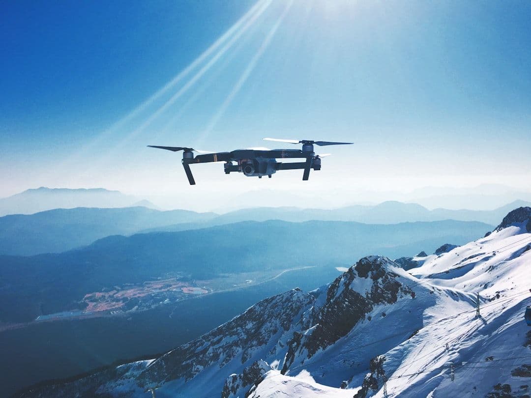
Drone technology has matured rapidly — but the systems that help everyone else understand what's flying overhead are only now catching up. A new partnership between airspace intelligence platform Airwise Solutions and drone detection specialist UAS Sentry highlights a shift that's easy to miss: the conversation around drone identification isn't just about pilots following rules. It's about giving ground-based operators — airports, energy companies, utilities, and critical infrastructure managers — a meaningful, real-time picture of low-altitude air traffic around their facilities.
Remote ID: More Than a Compliance Checkbox
Remote ID is often framed as a regulatory requirement — a kind of digital license plate that broadcasts a drone's identity, location, altitude, and velocity so that aviation authorities can monitor airspace. In many jurisdictions, it's now mandatory for most commercially operated drones. But compliance is really just the floor.
The deeper value of Remote ID lies in what becomes possible once the data is flowing. When every drone in a given airspace is continuously broadcasting standardized information, that stream can be aggregated, filtered, and analyzed by anyone with the right tools — not just the pilot, and not just air traffic control.
This is exactly where platforms like Airwise Solutions are building. Rather than treating Remote ID as a one-way broadcast, Airwise ingests signals from multiple sources — including detection hardware like UAS Sentry's sensor arrays — and turns them into a unified operational picture of low-altitude airspace. Think of it as a situational awareness layer that sits between raw drone telemetry and the people who need to act on it.
Who Actually Needs This Data?
The obvious answer is air traffic control. But the more interesting answer, and the one this partnership underscores, is: a lot of people who have nothing to do with aviation authorities.
Consider a major utility company managing hundreds of kilometers of power lines. Unauthorized or uncoordinated drone flights near high-voltage infrastructure represent both a safety risk and an operational headache. Without automated detection and identification, the company has no reliable way to know whether a drone nearby belongs to one of their own inspection contractors, a researcher, a recreational flier, or someone with less benign intentions.
The same logic applies to:
- Airports and heliports, where low-altitude drone incursions can disrupt operations and create collision risks
- Energy facilities — wind farms, solar arrays, substations — that are increasingly using drones for inspection while also needing to track non-authorized flights
- Logistics hubs and warehouses, particularly as drone delivery scales up and airspace around distribution centers becomes increasingly contested
- Urban infrastructure operators managing bridges, towers, or communications networks
For all of these users, the question isn't "is this drone compliant?" — it's "what is that drone, who operates it, where is it going, and does it belong here?"
Detection Plus Identification: Why Both Matter
UAS Sentry's role in this partnership is particularly instructive. Drone detection hardware — using technologies like radar, radio frequency (RF) scanning, acoustic sensors, or optical systems — can spot a drone that's physically present in a given area. But detection alone doesn't tell you who that drone is or what it's supposed to be doing.
Remote ID bridges that gap. When a detected drone's broadcast Remote ID signal can be matched against its physical position in real time, operators gain something genuinely useful: a correlated, verified profile of each aircraft in their airspace. Discrepancies — a drone that's detected but not broadcasting, or one whose broadcast location doesn't match its observed position — become immediate red flags.
Combining detection hardware with a broader airspace intelligence platform is the technical architecture that makes this kind of correlation possible at scale. That's the integration Airwise and UAS Sentry are pursuing.
The Bigger Picture: Airspace as Shared Infrastructure
What's emerging here is a model where low-altitude airspace is treated less like empty sky and more like a managed shared resource — analogous to road networks, where multiple parties (drivers, logistics companies, municipalities, emergency services) all need visibility into the same space for different reasons.
As drone operations grow more complex — longer-range deliveries, autonomous inspection fleets, urban air mobility — the demand for this kind of shared situational awareness will only increase. Platforms that can aggregate Remote ID feeds, correlate them with physical detection data, and present actionable intelligence to non-aviation operators are likely to become a critical piece of commercial and industrial infrastructure.
For enterprises already deploying drones at scale — whether for agricultural inspection with systems like the DJI Agras T50 or precision surveys with the DJI Mavic 3 Enterprise or multi-sensor operations using the Autel EVO Max 4T — understanding the airspace environment around their operations is becoming just as important as the drone hardware itself.
What This Means for Operators
If you're managing drone programs for commercial or industrial purposes, the Airwise-UAS Sentry partnership is a signal worth paying attention to. The regulatory baseline of Remote ID compliance is a starting point — but the real competitive and operational advantage will go to organizations that treat airspace data as an asset, investing in platforms that turn raw identification signals into meaningful situational awareness.
Airspace intelligence isn't a future problem. As drone traffic density increases across infrastructure corridors, logistics routes, and urban environments, the organizations that have built the data pipelines now will be the ones operating safely and efficiently when the skies get busy.
Interested in deploying enterprise drones for inspection or commercial operations? Explore our range of professional drone hardware and reach out to our team to discuss the right platform for your airspace environment.
References
This article was drafted with AI assistance and reviewed before publishing.
Related reading
- DronesDrone Compliance Is Broken. Could AI Finally Fix It?
- DronesWhen Drones Go Wrong: What a UK Police Incident Teaches Us About Airspace Safety
- DronesDVR for Drones: How AirData's Rewind Feature Is Changing Live Mission Oversight
- DronesBeyond the Camera: How Advanced Drone Sensors Are Transforming Canada's Critical Industries