
65 Million Flights and Counting: What AirData's Milestone Tells Us About the Future of Commercial Drones
By RobotWorld·8/27/2026
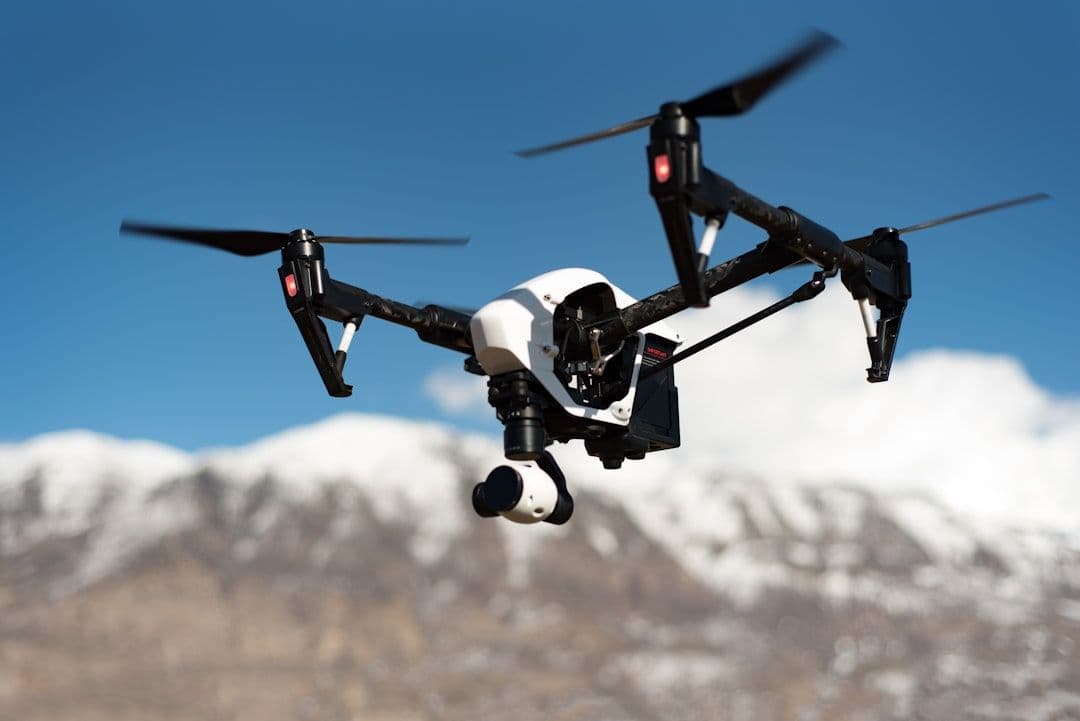
Numbers tell stories, and 65 million drone flights is a remarkable one. AirData, the California-based drone fleet management platform, recently announced it has now logged over 65 million flights globally — spanning more than 850,000 individual drones and nearly 470,000 registered pilots. For anyone tracking the commercial UAV space, this isn't just a corporate milestone. It's a data point that reveals how rapidly drone operations are transitioning from hobbyist novelty to serious industrial infrastructure.
What AirData Actually Does
Before unpacking the significance, it's worth understanding what AirData is. The platform functions as a centralized operations hub for drone fleets — aggregating flight logs, monitoring aircraft health, flagging maintenance needs, and helping operators maintain compliance with aviation regulations. Think of it as a combination of a flight logbook, an MRO (maintenance, repair, and overhaul) tracker, and a data analytics dashboard, all in one cloud-based service.
For enterprises running dozens or hundreds of drones across inspection, mapping, agriculture, or logistics operations, this kind of visibility isn't optional — it's foundational. You can't safely scale a drone program without knowing where your aircraft are, how they've performed, and when components need attention.
Why 65 Million Flights Is a Big Deal
Scale in aviation has always been a proxy for maturity. The commercial airline industry took decades to reach the operational volumes and data density needed to drive meaningful safety improvements and regulatory frameworks. Commercial drones are covering similar ground at a dramatically compressed pace.
Sixty-five million flights means tens of millions of hours of real-world operational data — data on battery degradation curves, motor performance across different climates, payload effects on flight dynamics, and the countless edge cases that field operations surface that lab testing never can. That data reservoir is invaluable not just for AirData's customers, but for the broader industry's understanding of how UAVs perform at scale.
It also signals that drone fleets are becoming a genuine enterprise asset class. Organizations deploying drones for infrastructure inspection, precision agriculture, and commercial surveying aren't running one or two aircraft — they're managing fleets, and they need enterprise-grade tools to do it responsibly.
Drones like the DJI Mavic 3 Enterprise — with its high-resolution mapping camera, optional RTK module for centimeter-level GPS accuracy, and compact foldable form factor — represent exactly the kind of hardware these professional operators are deploying at scale. Similarly, the Autel EVO Max 4T, with its multi-sensor gimbal combining thermal imaging, optical zoom, and a laser rangefinder, is purpose-built for the inspection and public safety workflows that are now generating millions of logged flights on platforms like AirData.
For agricultural operators managing large acreages, platforms like the DJI Agras T50 — capable of autonomous crop spraying across varied terrain — represent another high-volume commercial use case where fleet data management is critical to maintaining operational efficiency and compliance.
The BVLOS Connection
The timing of AirData's announcement aligns closely with one of the most consequential regulatory developments in commercial drone history: the FAA's long-anticipated rulemaking around Beyond Visual Line of Sight (BVLOS) operations.
Currently, most commercial drone flights in the United States require the operator to maintain direct visual contact with the aircraft at all times. This constraint is arguably the single biggest barrier to unlocking the full economic potential of drones — it limits range, requires more human labor per flight, and makes large-scale autonomous delivery or infrastructure inspection networks impractical without expensive waivers.
BVLOS rules, when finalized, would establish a standardized framework for flights where the drone operates beyond the pilot's direct line of sight. This opens the door to corridor inspections of pipelines and power lines spanning hundreds of miles, package delivery networks operating autonomously across urban and suburban areas, and persistent aerial monitoring for agriculture, forestry, or emergency response.
Here's where AirData's data trove becomes directly relevant to regulators and operators alike. The FAA's BVLOS framework will depend heavily on demonstrated safety records and operational data. Platforms that have aggregated tens of millions of flights — with associated maintenance records, incident data, and performance metrics — provide exactly the evidence base that regulators need to set risk-proportionate rules. In short, the industry's ability to prove it can operate responsibly at scale is partly what makes BVLOS rulemaking possible at all.
What This Means for Operators
For drone operators at any scale, these developments carry a clear practical message: data management is no longer a back-office concern. It's a competitive and regulatory necessity.
Operators who have maintained thorough flight logs, documented maintenance histories, and tracked performance metrics will be far better positioned to apply for BVLOS authorizations, demonstrate safety compliance to insurance providers, and participate in the growing ecosystem of drone service contracts that require documented operational track records.
If you're currently running commercial drone operations — whether for surveying, inspection, agriculture, or logistics — now is the moment to ensure your data infrastructure is as mature as your aircraft fleet. The regulatory window is opening, and the operators who arrive with clean, comprehensive operational data will move through it fastest.
The Bigger Picture
AirData's 65-million-flight milestone is more than a company announcement. It's evidence that the commercial drone industry has reached the kind of operational depth that transforms a technology from promising to proven. Combined with the approaching BVLOS regulatory framework, the conditions are coming together for a step-change in what drone networks can accomplish — from short-range, line-of-sight missions to genuinely autonomous, long-range operations woven into the fabric of commercial and industrial infrastructure.
The aircraft are ready. The data is accumulating. The regulations are catching up. The question for any organization with drone operations is straightforward: is your operational data ready for what comes next?
Interested in enterprise drone platforms suited for inspection, mapping, or agricultural operations? Explore our range of professional UAVs or get in touch with our team to discuss the right solution for your fleet.
References
This article was drafted with AI assistance and reviewed before publishing.
Related reading
- DronesBeyond GPS: How Elsight's New Positioning Tech Could Transform Drone Navigation
- DronesEnd of an Era: The DJI Phantom 4 Pro V2.0 Is Being Retired — and What It Means for Aerial Photography
- DronesHow Faster FAA Airspace Clearance Is Changing the Way Emergency Drones Get Deployed
- DronesDJI Mini 5 Pro Fly More Combo: What the Sub-$1,000 Deal Actually Gets You